 |
| East side of Cadillac as seen from the west side of Dorr |
For posts on the other three ways to ascend Cadillac, click here for the North Ridge Trail (intermediate), click here for the South Ridge Trail (easiest, but longest), and click here for the West Face Trail (hardest, but shortest).
Directions - This hike starts on the Park Loop Road not far after it begins at the Route 233 entrance. Parking is on the right in a small dirt pull in a few tenths of a mile after the parking for the North Ridge Trail. There is a sign for the Gorge Path just before the parking area. It will hold 3-4 cars. If it is full you can park alongside the road. The trailhead is at the back of the parking area. There are no bathrooms or running water here. Please note that when you leave you are on a one-way road, so you will need to continue down the Park Loop Road instead of turning around and driving back the way you came. The Park Loop Road is part of Acadia National Park
The Gorge path starts out easy. Early on it takes a more than 90 degree right turn that was not on either map we had. We looked around a little bit, but there were no obvious alternatives and the trail going to the right was very well blazed. The fact that it started to slightly lose elevation also gave us pause, but when we connected to the Hemlock Trail we knew we had gone the right way.
Stay on the Gorge Path and the land starts to rise moderately. The path goes up both sides of a stream bed, with several crossings of it. Eventually it stops crossing and the trail simply goes right up the stream. There was not a lot of water in it and no wading was necessary. The walls of the gorge keep getting higher and as the trail nears the upper end it is rising somewhat steeply. This moderates just as you reach the trail junction between Cadillac and Dorr.
 |
| A small waterfall on the Gorge Path |
 |
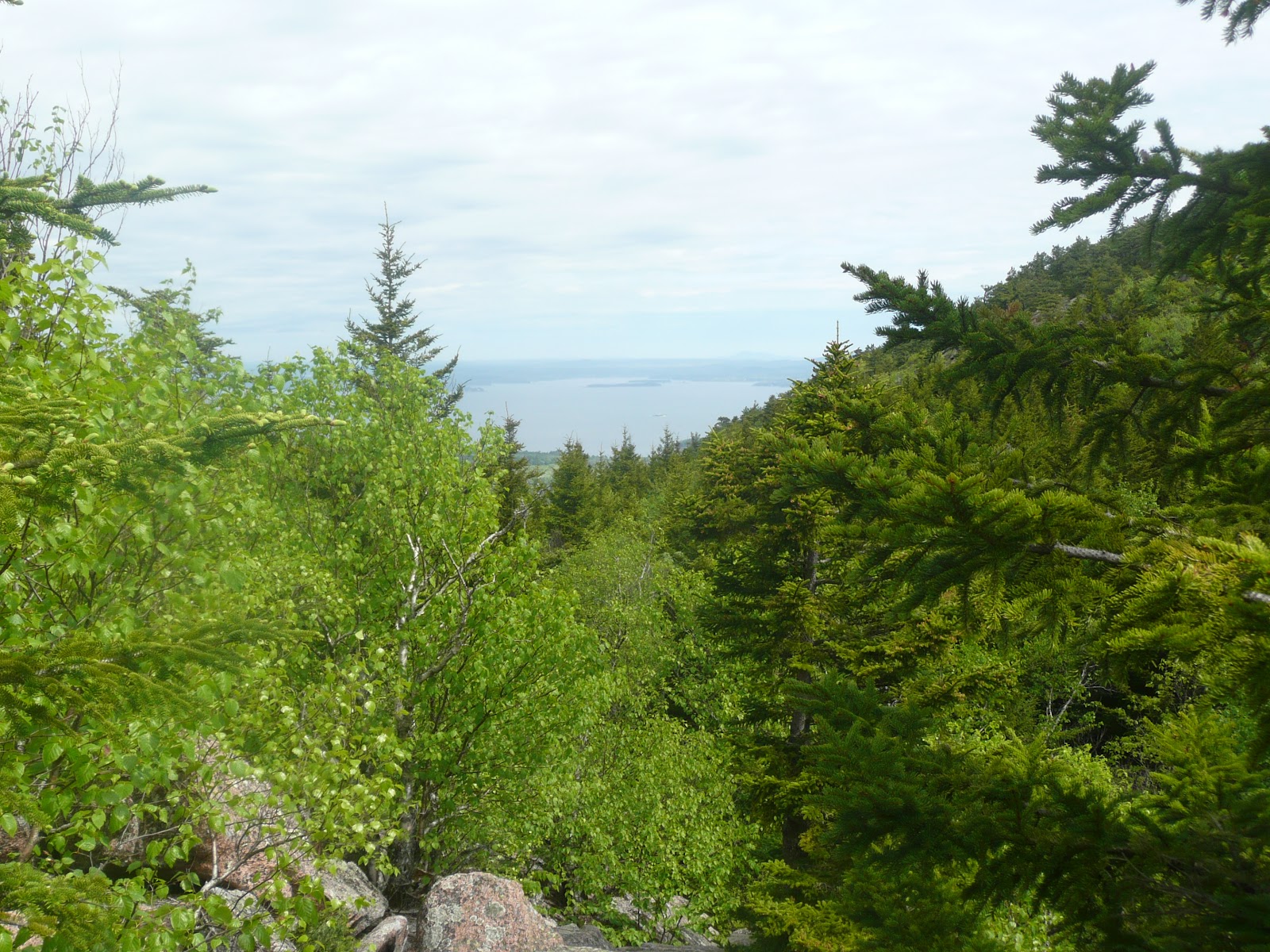
| Looking up the Gorge Path with the walls of the gorge rising above us. |
Turn right to head for the summit of Cadillac. At this point there is still more than 500 feet to rise in only four tenths of a mile. This translates to it being quite steep. There is much climbing up over boulders. When we would stop to look back behind us it was startling how quickly we were rising above the height of Dorr Mountain
 |
| View of Frenchman Bay starting up Gorge Path on east side of Cadillac |
 |
| Better view of Bar Island and Frenchman Bay only 9 minutes later |
 |
| Wide open view of Porcupine Islands and Frenchman Bay only 9 minutes after last photo |
About two thirds of the way up the trail moderates some and becomes ledge hiking. Unfortunately the trail was poorly blazed with faded blue markers and there were a large number of false cairns cairns
We made our way up as best we could, making sure not to step on any plants. Now and then we did see a very faded blue blaze, so we knew we were somewhere near the true path most of the way.
The trail ends on the east side of the summit loop trail. This trail consists of a quarter mile of crushed stone that you can follow. It starts from either side of the viewing area and drops down the mountain towards the views. This can be an interesting little walk and it gets you away from some of the crowds that are at the top. You can also get some different angles for photos from this walk. I suggest leaving this for the return. For now, turn right and follow the loop trail to the parking area. Walk clockwise around the parking area where you will find a small store, bathrooms, and a water fountain. You can buy food, drink, and tourist items in the store.
Note that at this time you have not actually summitted Cadillac. The viewing area is not built on the true summit. You can find that up in back of the store.
Take the dirt road just to the left of the store and walk up the small hill for a few hundred feet. Keep an eye out on the right for a couple sets of ledge that rise from the top of the hill. Go over to them and you will see metal disks set into them. One of them indicates the true summit and elevation (1,532 feet.) Once you are done here retrace your steps to the store.
My brother-in law George and I both celebrated because we had now completed all four of the hiking trails to the summit. (George has also bicycled up the auto road.) I bought a shirt in the store that lists those four trails. I had made a promise to myself I wouldn’t own it until I had earned it.
 |
| The intrepid hikers on the summit. I'm on the left and George is on the right. |
When you are ready to continue with your hike you can retrace your steps to the Gorge Path, but I recommend taking the time to walk the summit trail. When you go back to the beginning of it turn right to walk the trail counter clockwise back to the Gorge Path.
 |
| Looking south from the summit trail |
 |
| Some fog peeking out from behind Champlain Mountain as seen from summit trail |
Note - for more pictures from the summit of Cadillac please see the posts for the other trails that I listed above.
Head down the Gorge Path, but be careful to watch where you are going. The lack of good blazing made us have to stop at one point and search around until we found where the trail continued. Even with this short delay we got back down to the trail junction between Cadillac and Dorr in about 20-25 minutes, after taking 45 minutes to go up. In all it took us about 2 hours to summit Cadillac. In fact, each of the four trails to the top took us roughly 2 hours because the difference in distance was offset by the difference in difficulty.
At this trail junction you can just retrace your steps back down the Gorge Path, but the summit of Dorr Mountain
 |
| The upper end of Frenchman Bay as seen from the west side of Dorr Mountain |
When you are done here, head back to the most recent junction and this time take the North Ridge Trail. There are a couple of great viewing areas not too far down this trail. In fact, more than half of this trail consists of ledge hiking, so the views are quite good. It descends moderately most of the way, with a few steeper sections. If it is wet, it could be a little slippery. The trail finally turns into hiking over small rocks. Because of the descent angle watch your footing to avoid a turned ankle. This trail flattens out as you reach the junction with the Hemlock Trail.
 |
| Looking down on Kebo Golf Course and the town of Bar Harbor from the Dorr North Ridge Trail |
Turn left here to take the Hemlock Trail west. (East would take you to Sieur de Monts.) The land is mostly flat for this section. The trail has some roots and rocks on it. There is a small pond just before the Hemlock Trail meets up with the Gorge Path. Turn right onto the Gorge Path and retrace your steps back to the parking area.
George and I hiked this on an overcast day in May when the temperature was in the mid sixties. I’ve been told by a woman who hiked it on a hot midsummer day that it was quite enjoyable because when she was in the gorge the temperature was quite a bit cooler and it felt nice.
Cumulative distance: 4.5 miles round trip
Cumulative elevation gain: 1,600 feet
Cumulative duration: 4 hours (our time was 4:20 with 30 minutes of stops)
Acadia Hiking Guide
Acadia Hiking Guide
Seeings as how Phil and I will never get to climb any mountain trails, we really appreciate your astounding pictures and comments. I describe everything to Phil, and he gets to see the beauty through my eyes. I regret the fact that we never took up hiking. We actually tried it a couple times on the easy trails, before Phil got sick. Wish we could have kept it up. Thanks.
ReplyDeleteThanks. I'm glad you like these.
DeleteHello,
ReplyDeleteI was looking for information on trails up Cadillac Mt. and stumbled upon your blog. Your descriptions of trails were extremely helpful. I planned to find information about the North Ridge Trail which is how I came about your site, but then was looking around. I'm really glad I took the time to read this post as well. Today when my husband and I got to the North Ridge parking area there was absolutely no room! We had to continue down to the one-way of the Park Loop. There was 1 spot left to park at the Gorge Path area. We debated parking there and just walking back up the road, but since I had read your post I knew that the trail wouldn't be that much more challenging, based on your description and photos, than Frankenstein Cliff trial in the White Mountains. Having only looked at other less detailed descriptions and maps it appeared that the trail was overly strenuous and would not be an option we would like, but your description made it seem do-able for our current state of fitness. We climbed up Gorge Path to the summit of Cadillac and then decided to descend on the North Ridge Trail and walk back to the car -- the rocks in the Gorge were wet and quite slippery today on the ascent which made it riskier than we wanted for coming down. Thank you for your great trail descriptions I was able to know when to watch out for poor markings etc.
Melissa - Thank you very much for all your kind words. They made my day, especially since my hiking posts get read a lot this time of year, but almost no one takes the time to comment on them.
DeleteI've done Frankenstein Cliffs and you are correct that if you can do that then the Gorge Trail is well within your fitness level. I will have to post on those trails around Arethusa Falls some day.
If you are looking for another hike in Acadia I highly recommend The Beehive and Champlain Mountain's South Ridge trail. It was the first hiking post I wrote here. You can find it by scrolling to the bottom of the hiking posts (click on the "Hikes - Acadia National Park" Label at the bottom of this post.) The views are fantastic.
Another good hike for views is the North and South Bubble one, which you can also find a post for in the same Label.
Thank you for this! I went up Gorge, hit Dorr on the way up, and then down South Ridge this past weekend and your blog was the most helpful reference out there! Thanks for posting such detailed information. I wanted you to know it continues to help! -LS
ReplyDelete